
Essential Questions: (updated 4/14/25)
- How has the surface of our planet changed over time?
- What clues are provided to show that the surface of our planet has changed?
Lesson Resources (per 2-3 students): I make these ahead of time to save time in class and I can reuse them for each class.
- Handouts:
- Wegener’s Puzzling Continental Drift* Evidence –lesson details from USGS
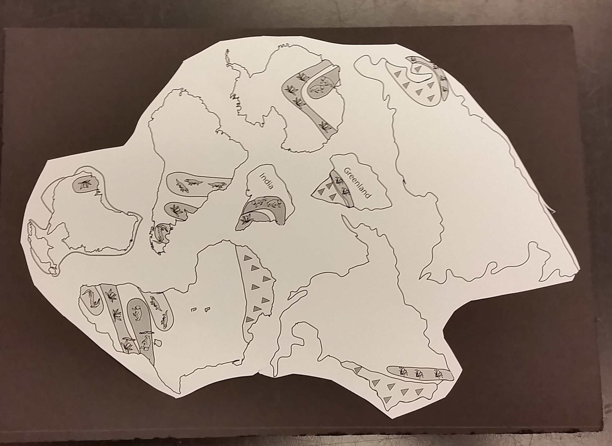
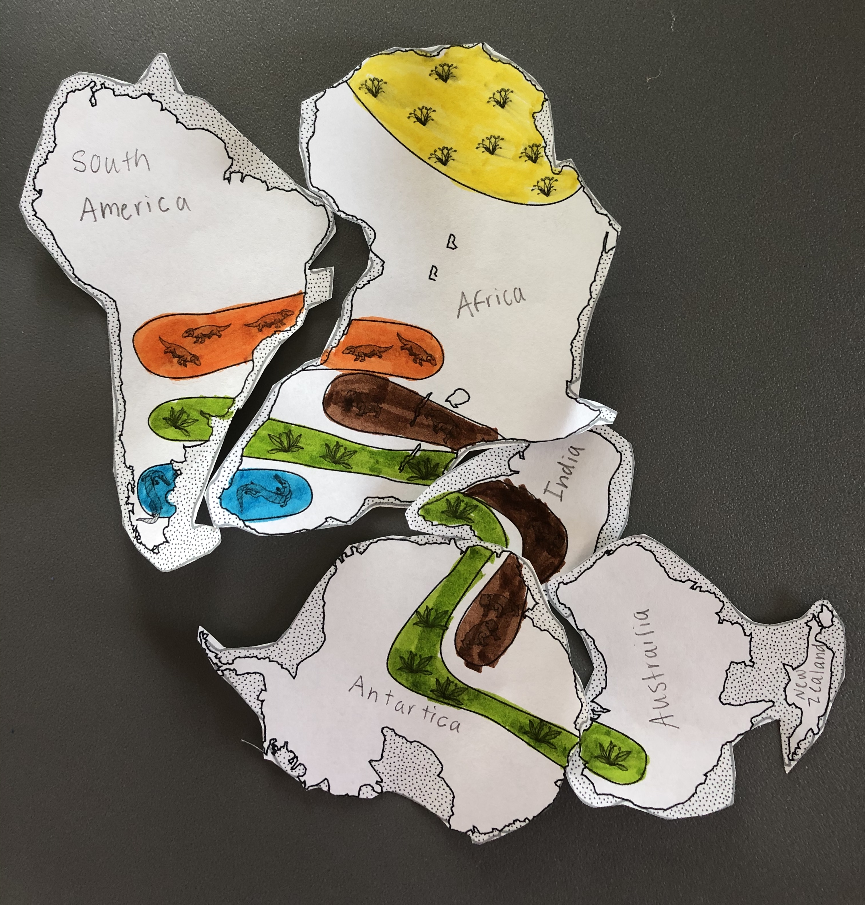
- USGS landmasses Pangaea handout (pdf)
- Optional – have students color code the fossils before cutting out land masses, this will help them see patterns in the fossil evidence
- Florida Museum – has a color version of the land masses & detailed lesson plans and background information (pdf)
- Wegener’s Puzzling Continental Drift* Evidence –lesson details from USGS
- American Museum of Natural History -🧑🏻💻 Plates on the Move Game
- students can work on this after their puzzles are done to explore tectonic plate movement
- Foam Board
- Glue stick
- Disposable scalpel or sharp craft knife
- Blue construction paper
- Ziptop bag
Procedures:
Preparation
- Print out and glue landmasses to a piece of foam board
- Carefully cut out each land mass and fossil key
- Place into zip-top bag
Class Activity
- Have students place the landmasses into their current geographic positions on top of the blue construction paper.
- What do they notice about the landmasses? Discuss.
- Ask students: “Do you think you can make one large landmass using the clues provided?”
- After a few minutes, check on their progress, what did they do first? What was giving them difficultly? Encourage students to try alternate possibilities.
- Discuss findings, what possibilities did they come up with?
- Ask students how the landmasses moved to their current position- accept all possibilities.
- Ask students: “Are the landmasses are still moving?”
- Show “Animated Life: Pangea” by the NYTimes
- Have students try to create Pangea again.
- Discuss.

Additional Links: NEW
- NatGeo – additional information and maps on plate tectonics
- Dynamic Earth learning – NOAA site about plate boundaries
- Concord Consortium – students create their own tectonic plates and explore how they interact
- Earth and Her Tectonic plates – is there an active or old tectonic plate boundary near you?
- ⭐️ HHMI Earth Viewer – “EarthViewer dynamically shows how continents grow and shift as students scroll through billions of years. Additional layers let students explore changes in atmospheric composition, temperature, biodiversity, day length, and solar luminosity over geologic time.”

Leave a reply to Lauren Pfenning Cancel reply